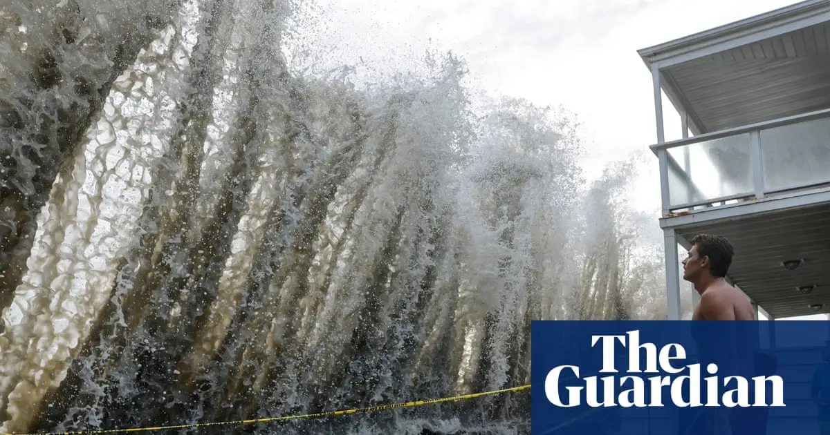
A slow, planetary-scale Kelvin wave is moving toward California’s coast and, according to scientists, could raise sea levels by up to 30 centimeters for months. The cause is the exceptionally strong El Niño developing in the Pacific and trapping warm water along the coast.
Kelvin waves are unlike the waves that break on a beach. They are planetary in scale and stretch for thousands of miles. They form when the trade winds, which usually blow from South America toward Asia, weaken or reverse during El Niño years, triggering a vast, slow movement of water.
Severine Fournier, an ocean circulation researcher at NASA’s Jet Propulsion Laboratory, explains that these waves can be tracked along the equator. When they reach the coast of South America, they cannot continue eastward and move north and south. One such wave reached the northern tip of South America in late August and is now moving toward the U.S. West Coast; it could reach California within days.
Nate Mantua, a researcher at NOAA’s Southwest Fisheries Science Center, explains that in a typical year, a thick layer of warm water sits in the western Pacific. When the wind stops or weakens, the force holding that water in place disappears, and the water moves back toward California. Researchers expect the Kelvin wave’s effects to last through the winter and into the early part of next year.
The threat is not just the wave itself. Sea levels have already risen by about 20 centimeters over the past century, so the Kelvin wave adds water to a baseline that is already rising. This year’s El Niño is probably the largest in at least 1,000 years, while temperature readings have already exceeded the highest level recorded for the phenomenon, several months before its expected peak.
Oceanographer Mike Jacox stresses that this is a different kind of wave from those on a beach: it does not break and is barely visible.
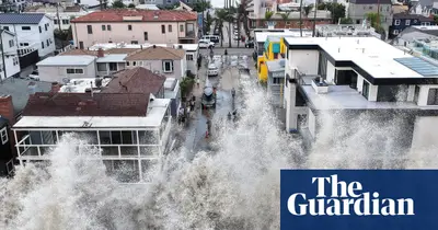
Very high tides are expected this winter around Thanksgiving and Christmas, and if more storms and storm surges are added, it is as though the floor on which all of this happens is rising.
California is already preparing. Governor Gavin Newsom declared a state of emergency, mobilizing resources ahead of possible winter storms and coastal flooding. Equipment for road closures and snow removal is being positioned along highways, the National Guard will be ready for search and rescue operations, and authorities are looking for ways to reduce red tape in the event of a natural disaster.
The California Coastal Commission urged residents to prepare now: inspect areas vulnerable to flooding or erosion, add drainage, and address potential causes of damage before severe weather arrives. The commission’s head, Kate Huckelbridge, notes that the most destructive storms in the past often coincided with the highest tides, as a storm that peaks at high tide is much more likely to cause damage.
Mantua points out that the very strong El Niños of 1983, 1998 and 2016 helped researchers better predict what might happen. However, with rising sea levels and the phenomenon’s exceptional intensity, he believes the damage could be even greater than in previous strong El Niño winters. During El Niño winters in the northern Pacific, he says, there tend to be more storms and large waves, and when these combine with higher sea levels, they expose areas to more ocean energy and straightforward inundation.
Comments