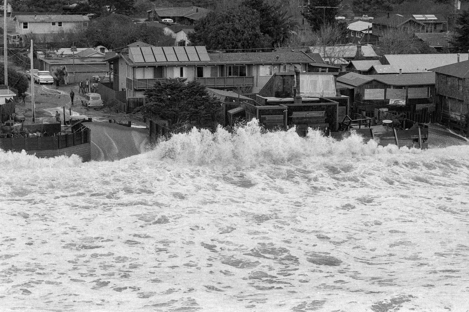
California risks seeing exceptionally high tides right over the holidays: the highest predicted tides peak on November 24–26, with Thanksgiving on November 26, and on December 23–25. Government officials have issued warnings, and scientists are concerned that sea levels could reach or even exceed the record levels of the destructive tides of early January. Already, in late September, water levels were about 0.8 feet above normal in the San Francisco Bay area and 1.2 feet above normal in Southern California.
Three factors explain the phenomenon: El Niño has warmed and expanded Pacific waters, the Moon’s gravitational pull is near the peak of its 18.6-year cycle, and climate change continues to melt ice. These factors alone mean that the highest tides in November and December could cause moderate flooding even without a storm. The problem becomes much greater if a storm strikes during the tides: in this scenario, which BCDC calls a “perfect storm,” water levels could rise 3 or 4 feet above an average high tide, breaking the previous record. A storm is much more likely in December than in November.
Such a scenario would send floodwaters into many coastal communities and disrupt nearly every form of travel: road, air, rail and ferry. According to hazard maps from BCDC, USGS and NOAA, Highways 101 and 37 in the North Bay often flood during the highest tides even in mild weather, while this year water could reach low-lying rail lines in Solano, Marin and Contra Costa counties. In the East Bay, standing water could cover the westbound lanes of Interstate 80 near the Bay Bridge toll plaza, while routes to Oakland airport could be cut off. Ferry terminals, such as Jack London Square, could be underwater, while San Francisco’s Embarcadero and low-lying waterfront roads in Millbrae, San Bruno and Redwood City are likely to flood.
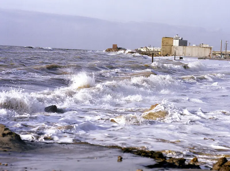
Cory Copeland, BCDC’s data and adaptation science lead, described the “really frightening possibility” of a significant storm surge occurring at the same time. El Niño makes such an event more likely and more intense because it can strengthen the waves and winds of individual storms, while rain runoff would make flooding even worse. Gary Griggs, a professor of Earth sciences at the University of California, Santa Cruz, points out that major damage along California’s coast has generally occurred in El Niño years. “This coincidence of very large waves and very high tides will be the tipping point,” he said.
The historical precedent shows why scientists are concerned. The highest water level ever recorded in San Francisco occurred on January 27, 1983, when a high tide coincided with a major storm: the storm surge added 2 feet to a tide that was already 1 foot above normal. Hundreds of residents were displaced and Highway 101 was seriously threatened in Corte Madera, but residents and authorities closed a levee in time. A BCDC report notes that if the peak storm surge from that storm had coincided with the highest tide on January 27, water levels would have been almost a foot higher. A “perfect storm” in the bay could theoretically occur if the maximum high tide, maximum storm surge and maximum rainfall all coincided.
The chances of a perfect storm in any single year are low, but with a strong El Niño already underway, the “path” to the highest water levels becomes more realistic, Copeland says. San Francisco International Airport is exposed: according to Griggs, it begins to flood at about 1.5 feet above today’s average highest tides. An airport spokesperson said preparations have already begun to reduce the risk of flooding this winter. Oakland International Airport recently completed a flood protection project that raised a levee on its southern side, but access from the north and east is low-lying and likely to flood if a high tide coincides with a storm. Kaley Skantz, a spokesperson for Oakland airport, said they are aware of the forecasts and confident that the pumping stations and reinforced levee will prevent impacts on operations.
Experts warn drivers that even a few inches of seawater are enough to cause rust and corrosion in a car, especially an electric vehicle. “If you see these puddles, they will be deeper than you think,” Copeland said. “Don’t try to drive through them. It’s a very quick way to lose your car or get hurt.” Average tides this winter could be half a foot higher than during previous El Niños. This year’s El Niño, according to Kelsey Ducklow, coastal resilience coordinator at the California Coastal Commission, gives people a more visible picture of the conditions we will see increasingly often as sea level rise intensifies these impacts.


Comments