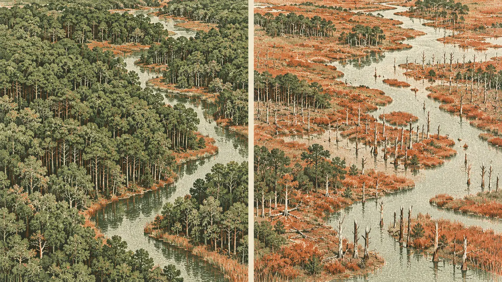
A new satellite study published in PLOS One found that a specific area of North Carolina's coastal plain lost 21% of its forests between 1985 and 2021, with the decline accelerating after 2010. The researchers say rising relative sea levels, saltwater intrusion and extreme events are turning healthy forests into marshes, shrublands and “ghost forests.”
The team studied part of North Carolina's coastal plain, a region recognized as a global hotspot for sea level rise. For the analysis, it used Landsat and Sentinel-2 satellite images and trained convolutional neural networks to distinguish forests, “ghost forests,” shrublands, marshes, water and cultivated land. Adding phenological indices improved the distinction between “ghost forests” and other vegetation.
According to the results, forested areas in the study region turned into shrublands, marshes and “ghost forests.”
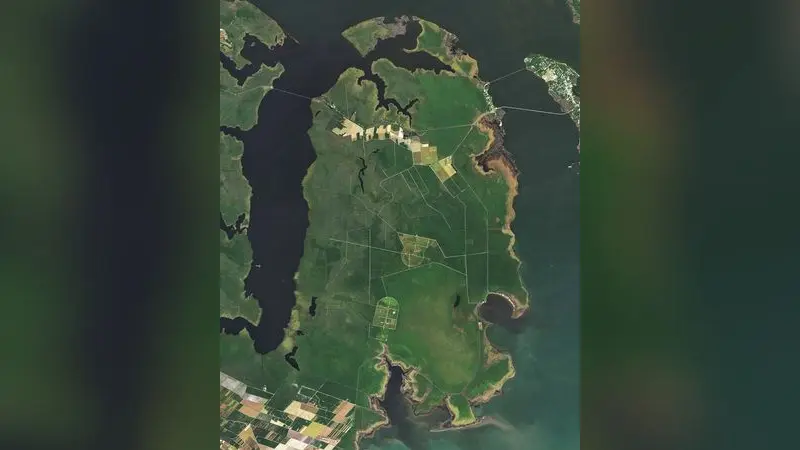
The loss was not constant. Between 2010 and 2021, 23,876 hectares of forest were lost to marshes, “ghost forests” and shrublands, 1.5 times the 16,968 hectares lost between 1985 and 2010. The researchers note that this acceleration is linked to the increasing rate of relative sea level rise, estimated in the area at 3.5 millimeters per year in 2010 and 5.14 millimeters per year in 2021.
“Ghost forests,” landscapes filled with dead or dying trees, are among the most distinctive signs of degradation.
The statistical analysis showed that the main factors driving the conversion of forests into “ghost forests” and marshes are proximity to canals, salinity and the rate of relative sea level rise. The closer a forest is to a canal, the more likely it is to turn into marshland, because artificial canals and ditches serve as pathways for saltwater intrusion.
The study also shows that the method matters. For 2021, higher-resolution Sentinel-2 images achieved an F1 score of 96.3, compared with 93.4 for Landsat, but Landsat data remain essential for long-term monitoring dating back to 1985.
The researchers stress that quantifying these changes identifies the most vulnerable areas and can support targeted conservation strategies. The retreat of coastal forests is not just a change in scenery; it changes the structure of ecosystems and provides a visible record of the pressure climate change is putting on coastal areas.

Comments