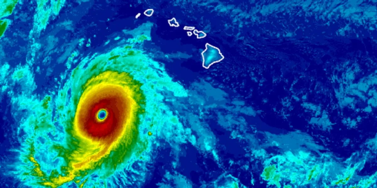
Hurricane Nolo has weakened slightly but remains a powerful Category 4 storm threatening the Papahānaumokuakea Marine National Monument, according to the US National Hurricane Center. At 11 a.m. local time on Monday, Nolo was 420 miles southwest of Honolulu and 475 miles south-southeast of French Frigate Shoals, moving west-northwest at 12 miles per hour. Nolo’s maximum sustained winds decreased slightly to 145 miles per hour. Hurricane-force winds extend up to 35 miles from the center, while tropical-storm-force winds reach up to 150 miles away.
Forecasters expect the hurricane to begin weakening gradually on Monday night, with more rapid weakening toward the middle of the week as it turns first northwest and then north.
A hurricane warning has been issued for the islands from Nihoa west to French Frigate Shoals, within the Papahānaumokuakea Marine National Monument. Hurricane conditions are possible in this area by Wednesday, while tropical storm conditions are possible starting Tuesday.
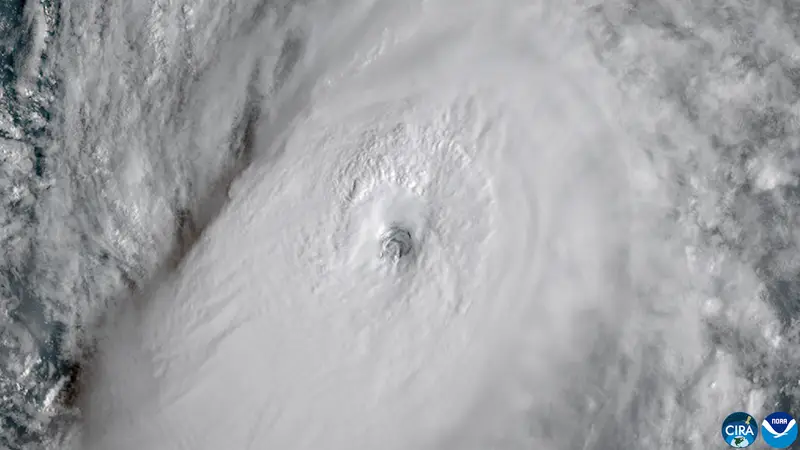
Swells generated by Nolo are already affecting the southern shores of the main Hawaiian islands and are expected to continue over the next few days. Large waves associated with the hurricane will reach the marine monument starting Monday and are likely to flood some low-lying atolls, particularly from French Frigate Shoals to Nihoa. A high surf warning is in effect for the southern shores of all the islands and the western shores of Hawaii.
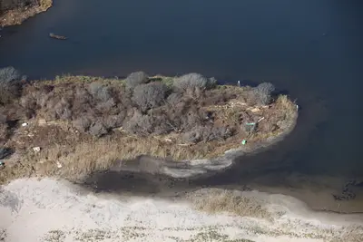
Although Nolo’s most destructive effects may have passed, staying prepared is advised, as this year’s hurricane season remains extremely active. The threat to Papahānaumokuakea is particularly significant because it is an extensive protected marine ecosystem with low-lying atolls that are vulnerable to rising sea levels and large waves.

Comments